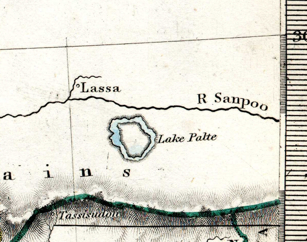
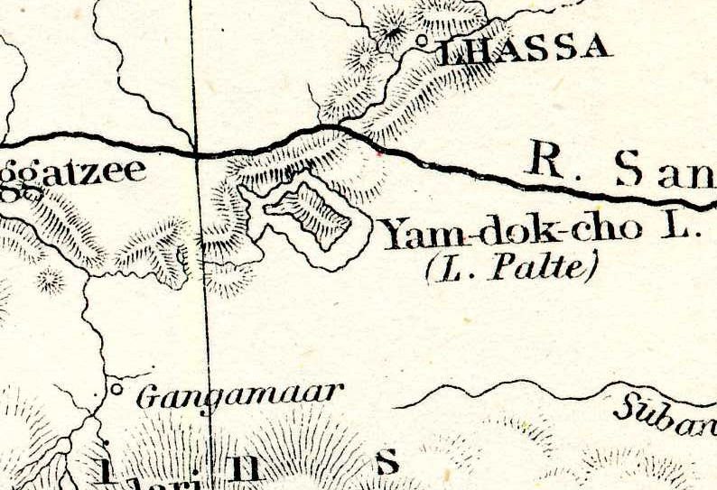
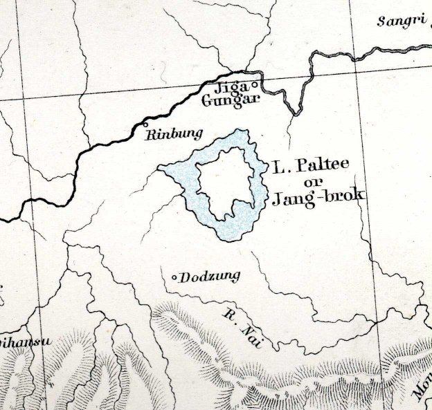
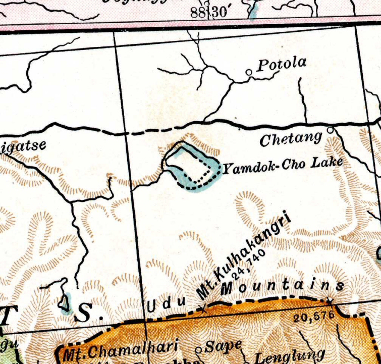
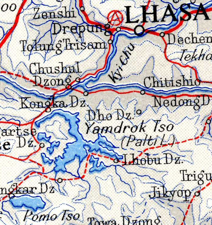
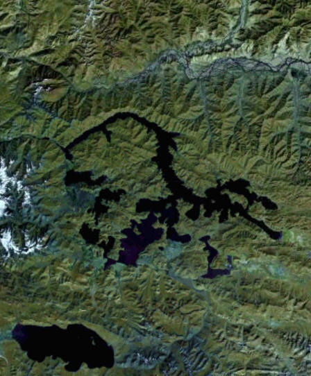
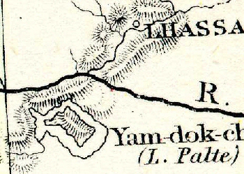
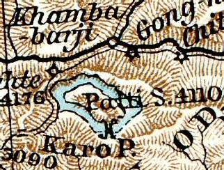
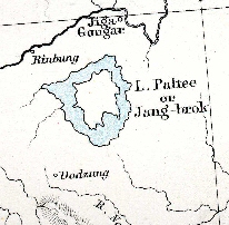
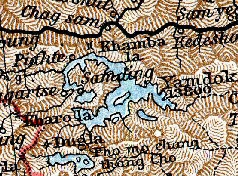
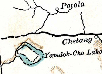
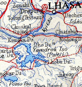
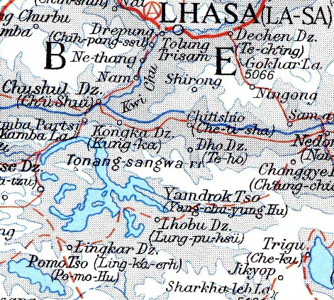
Maps of Yamdrok Tso, also know as Lake Palte, Lake Paltee, etc.
Lake Yamdrok Tso is in south-eastern Tibet, about 50 miles north of the Bhutan
border, and south of Lhasa. This page shows maps of Lake Yamdrok Tso printed
at various dates.
You can click on any of the maps to see a larger and more detailed version.
The versions on this page are all at approximately the same scale.
It is likely that the lake really is changing shape and getting smaller –
it is being drained by a Chinese hydro-electric scheme. The
Yamdrok Tso Hydroelectric Project
started to empty it in 1997.
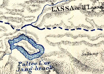
1871 Johnston's Royal Atlas
|
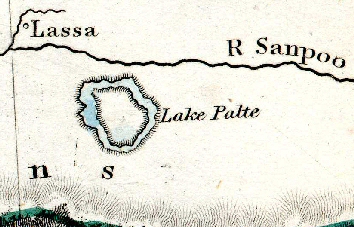
1873 S.D.U.K. Atlas
|
1884 Lett's Atlas
|
1887 Andree's Atlas
|
1888 Black's Atlas
|
1893 Cassell's Atlas (derived from Andree's)
|
1903 Encyclopedia Britannica Atlas
|
1957 Times Atlas
|
1972 Times Atlas
|
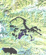
2005 Google Earth
(colours changed to make the
shape of the lake clearer)
|
Other pages showing how maps have changed due to more accurate information.