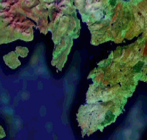
Lochs Eishort and Slapin are sea lochs in southern Skye. Skye is the largest of the Scottish islands, just west of the mainland of Scotland. This page shows maps of Lochs Eishort and Slapin created at various dates.
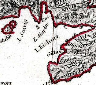
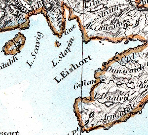
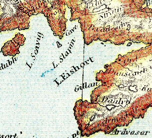
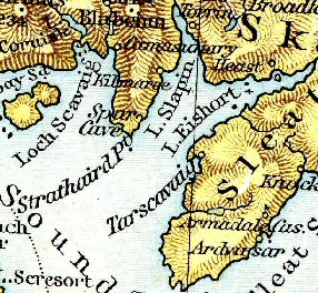
I created this page to show the various shapes drawn for the coastline, during the nineteenth century. However I chose my sources badly – as you can see, the three oldest atlases shown not only show exactly the same shape for the coastline, they are all printed from the same plate! This surprised me.
|
|
|
|
| 1836 Atlas with no title page, and the one word "Europe" on its cover | 1873 S.D.U.K. Atlas | 1884 Lett's Atlas |
|
|
|
|
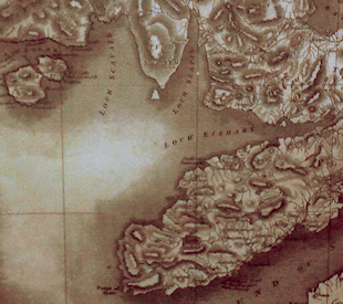
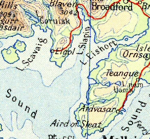
| c1890 A framed map in the bar of the Tongadale Hotel, Portree. | 1893 Cassell's Atlas (derived from Andree's) | 1957 Times Atlas |
|
|
|
|
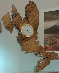
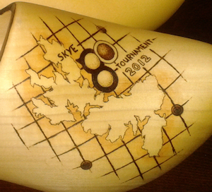
| c2011 A hand-carved clock in a shop in Portree. Possibly copied from the c1890 map above. | 2012 A hand-painted clog, in Portree. This errs in the opposite direction to the early maps, making the inlet between the Elgol peninsula and Sleat too narrow. | 2005 Google Earth |
Other pages showing how maps have changed due to more accurate information.